


New
Jules Verne: Twenty Thousand Leagues Under the Sea Map
$17.99
Every Fathom of the Nautilus's Journey, Mapped
Jules Verne published Twenty Thousand Leagues Under the Sea in 1870 and invented a genre in the process. Captain Nemo, the Nautilus, and the vast, unknowable ocean beneath the surface — it's one of the great adventure novels, and one of the first to make readers feel that science and imagination belonged together.
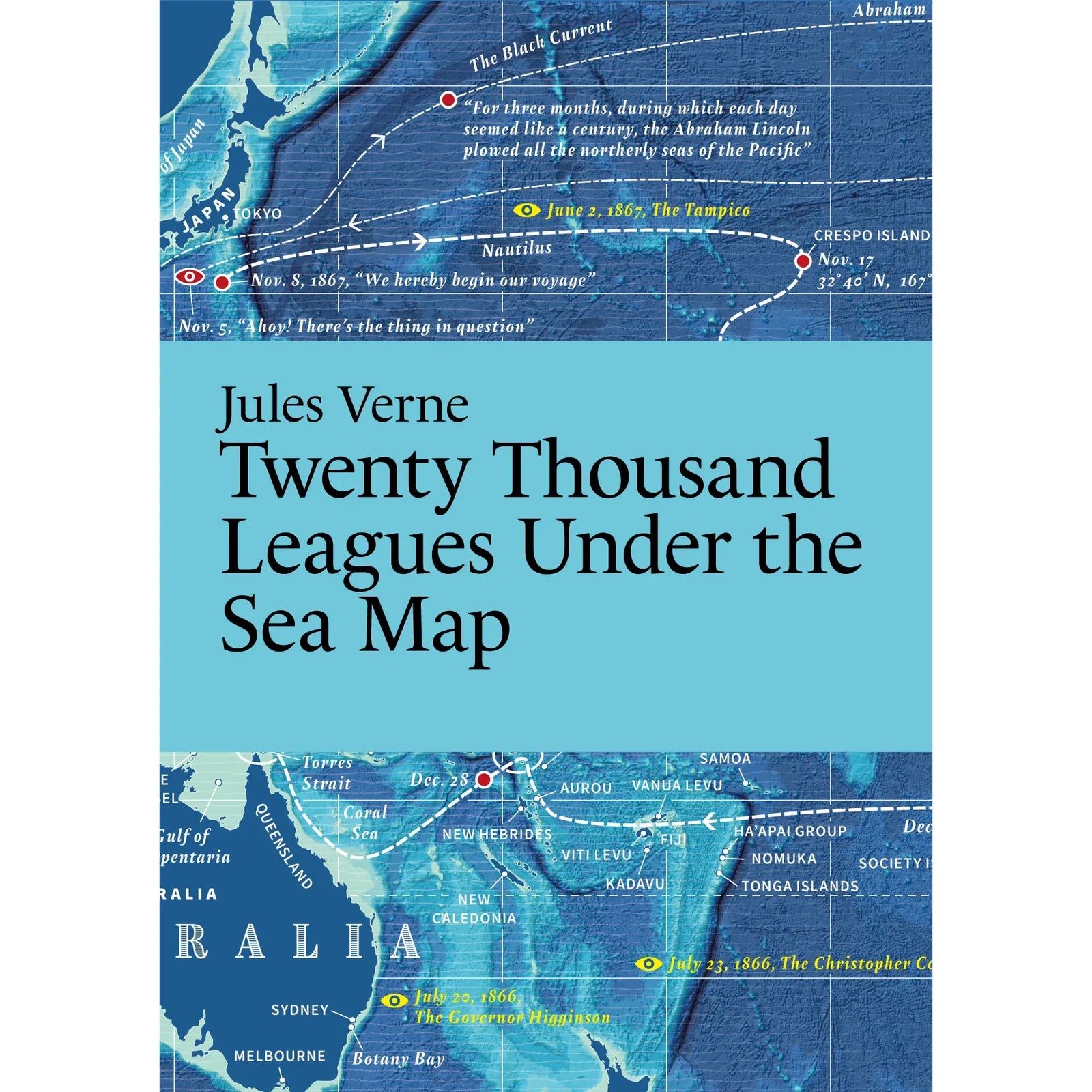
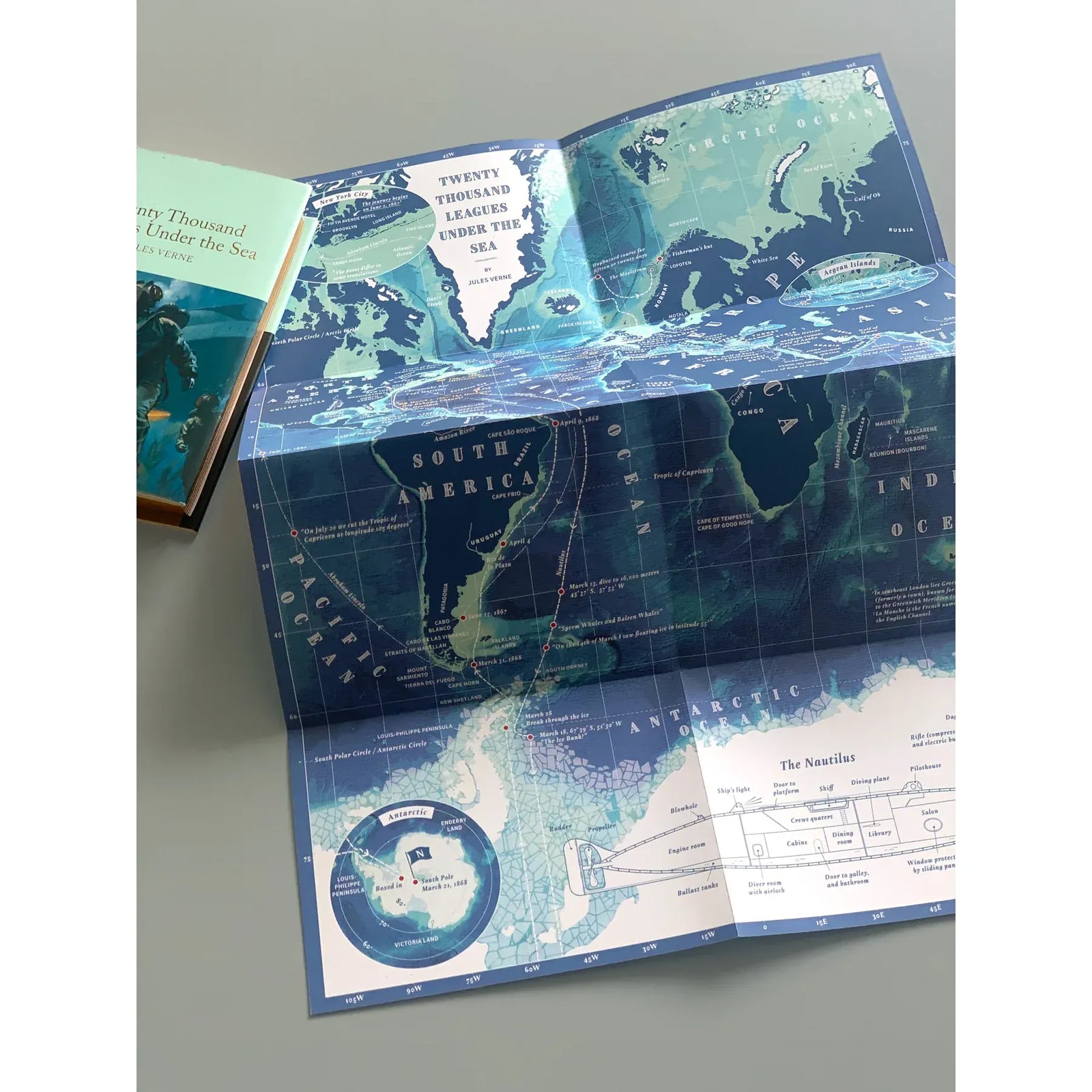
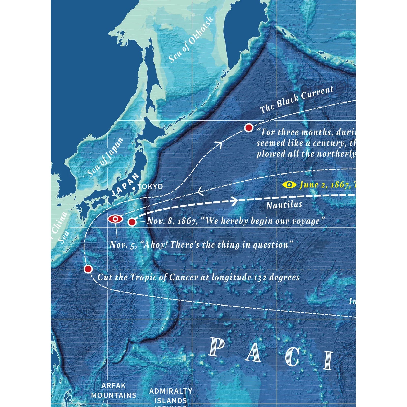
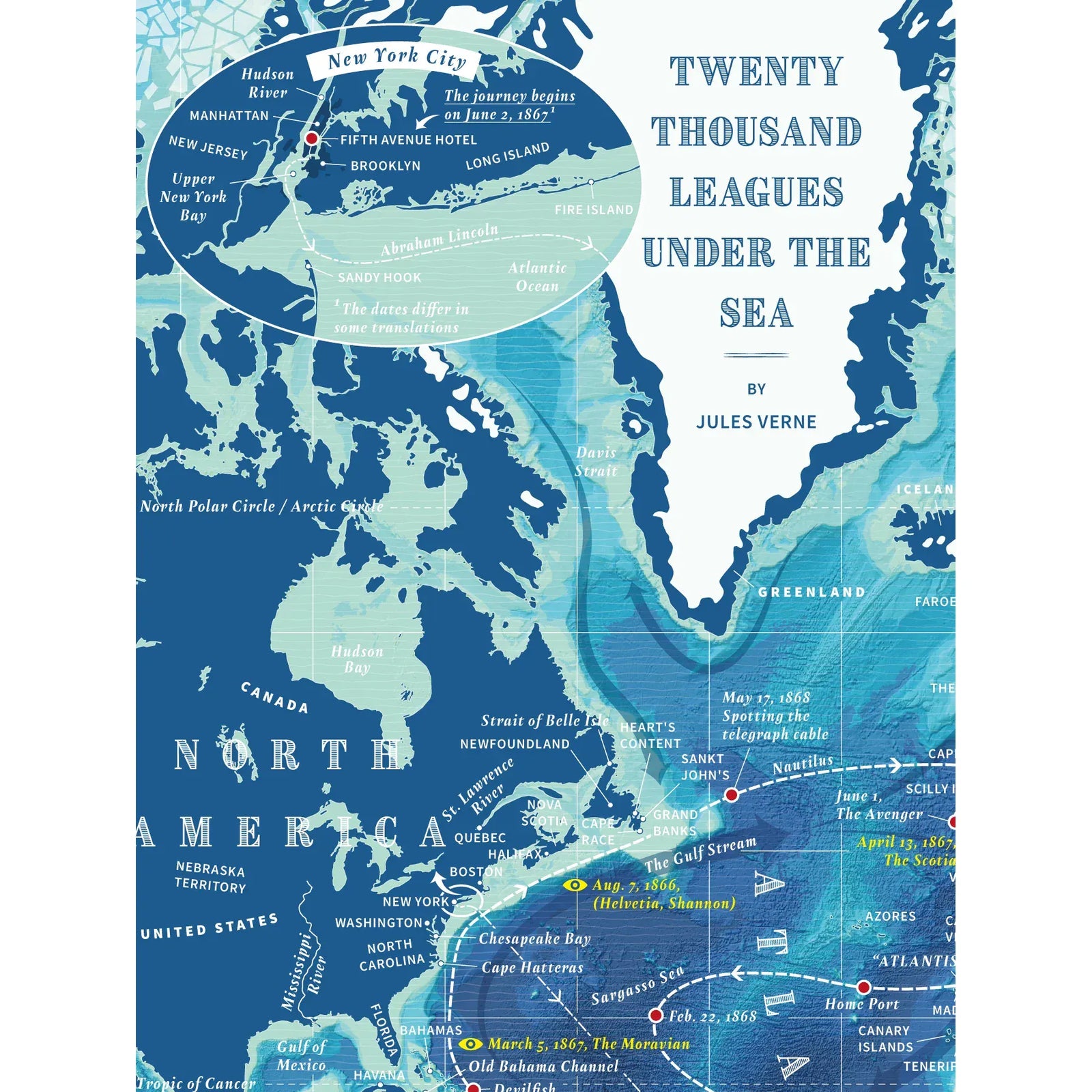
This illustrated map traces the entire journey of Professor Aronnax and his companions aboard the Nautilus — the forests of Crespo Island, the ruins of Atlantis, the fictitious underwater tunnel beneath the Isthmus of Suez, and every other place Verne so vividly described across the novel. The kind of map that makes you want to re-read the whole thing.
Published by Literary Maps, created by map illustrator Martin Thelander, who makes detailed illustrated maps for classic books with places appearing in the order they're mentioned in the text. The kind of thing you unfold next to a re-read and never quite put away.
Details
- Illustrated map only (not the full text)
- Printed size: 297 x 420 mm / 11.7 x 16.5 in.
- Folded size: 105 x 148 mm / 4.13 x 5.83 in.
- Printed on recycled, FSC-certified paper
Perfect For
- Readers who love classic science fiction and want to follow every league of the journey
- A gift for the Jules Verne devotee who has strong feelings about Captain Nemo
- Anyone who believes the best adventures happen underwater
Collections: All Products, Literary Guides, Literary Maps, New Arrivals, Science Fiction